
Key Summit Track - Piopiotahi / Milford Sound
KEY SUMMIT TRACK
The Long Way Around - BEAR’s Guide to New Zealand’s South Island
DISTANCE : 8.4km (450m elevation)
TIME : 3 hours return
GRADE : easy/moderate
The Key Summit Track is a section of the larger Routeburn Track. Starting from The Divide carpark, you’ll follow the Routeburn Track for about an hour before branching off toward Key Summit.
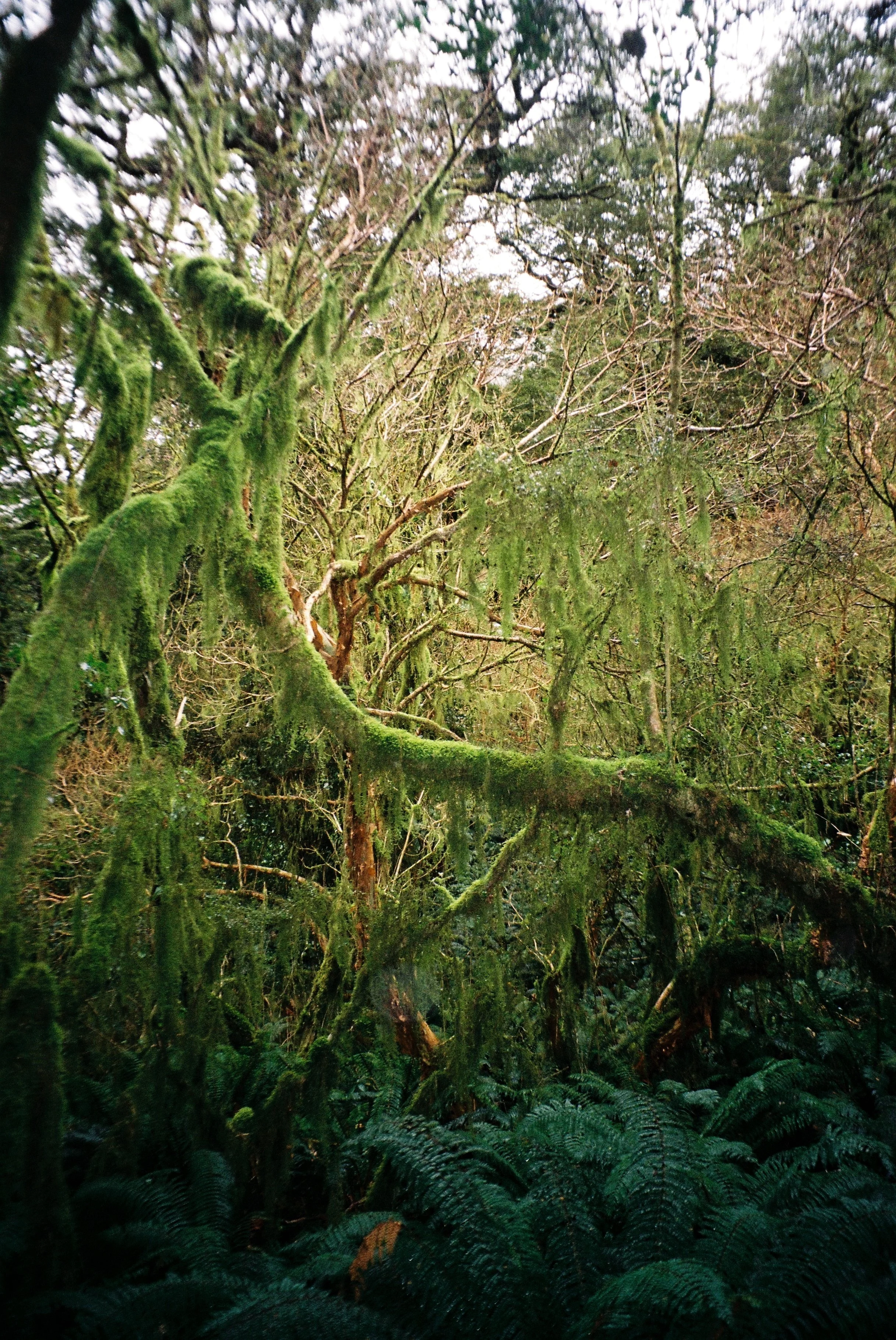
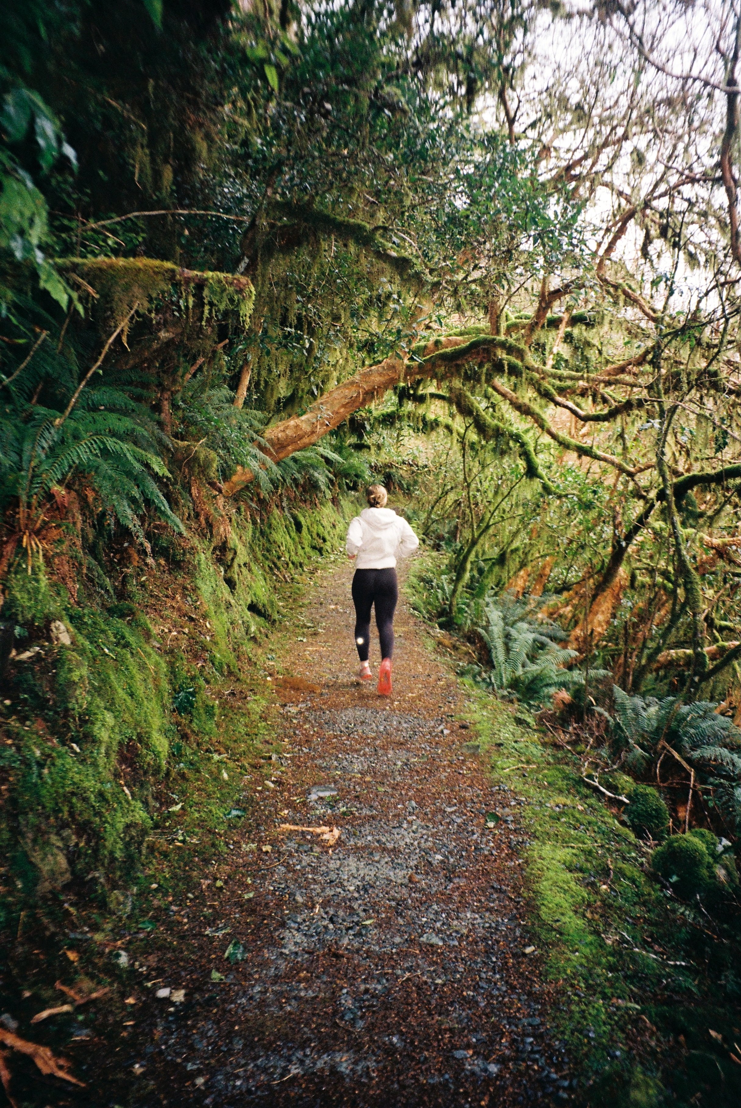
Almost immediately, you’re pulled into what feels like a real-life fairy forest. The trees are draped in hanging moss, and there are a number of tree stumps with little hollows that look like tiny doorways for animals! We had a misty, drizzly day which only added to the magic - and given Milford Sound sees rain around 200 days a year, your chances of experiencing that same atmosphere are high.
The walk itself is a gradual incline, but never really too steep. Along the way, you’ll pass a waterfall where you can refill your drink bottle (mountain water is so much better than regular water). There is also a section marked as an avalanche risk where you are advised not to stop, so keep moving through that stretch!
As you continue, a sign will advise that the summit is about 30 minutes away. From here, the landscape begins to shift - you will emerge from the beech forest and spot glimpses of distant mountain peaks.
At the top, there are two short detours to viewpoints: one overlooking Lake Marian, and the other to the Nature Walk viewpoint. Both are quick and worth it, although on a cloudy day Lake Marian may stay hidden, we weren’t lucky enough to spot it. There’s also a sign marking a spot where, 10 - 15,000 years ago, you would have been standing beneath 500 metres of ice which is a super cool perspective shift!
We only passed one other person on the track - although, to be fair, it was the middle of winter and raining.
This is definitely a walk I’d like to return to, perhaps on a clearer day so the views are a little more speccy, but nonetheless, this walk is worth it!
Stray beautiful,
BEAR.