
Six Foot Track to Bowtells Swinging Bridge
BLUE MOUNTAINS
SIX FOOT TRACK TO BOWTELLS SWINGING BRIDGE

DISTANCE : 12.6km
TIME : 5 hours
GRADE : moderate
Six Foot Track is 44km in total and takes three days to complete, however there are sections of the walk that are slightly more achievable! Megalong Valley to Bowtells Swinging Bridge along the Six Foot Track is one of those. 12.6km return. It’s an easy to moderate walk along a well trodden track. Some parts of the track have eroded slightly, but it’s nothing too hairy. There are a number of stiles too, but these are sturdy and well maintained.

The walk begins at the Megalong Cemetery on Megalong Road, which is a 20 minute drive from Blackheath. Megalong Cemetery lies on Gundungurra land and has only two remaining headstones.
The first section of the walk is along a gravel road through rolling farmland. It’s beautiful, and a nice way to ease into the track, the only irritating part is when a car passes, you end up in a cloud of dust. At the end of this road, you cross a cattle grid where you will see a timber sign for Six Foot Track on your right. This is where the trail begins.
You cross a small bridge, and walk uphill through farmland. We walked at the end of autumn on a sunny day and felt the heat, so I can only imagine how exposed this section feels in summer! We battled the devil on our shoulder telling us to stop in at Dry Ridge Estate (squiz their website - the curser is a wine bottle!!) for a crisp dry white - who puts a vineyard at the start of a bushwalk?! Really testing the will-power!
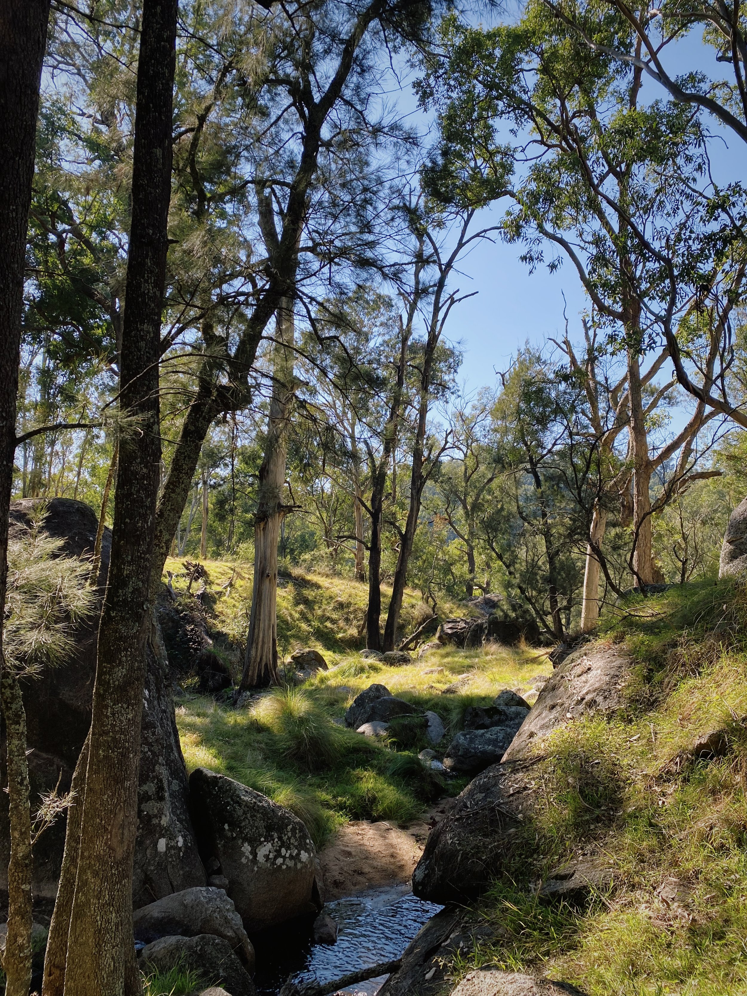
After a portion of uphill walking, and stile climbing, you will reach a lightly wooded forest for some much needed shade. The walk is mostly flat through this section. At the 3.3km mark there is a bench seat, the views are nothing compared to the rest of the walk, but it's a nice place to stop for morning tea. My bushwalking book suggests to watch for bull ants, but we were fine! A little more of the flat track before you begin to descend through thicker forest towards the river.

You can hear the river before you see it (an ordinary joy of bushwalking), and there are a number of “off track” tracks that you could take to reach the river sooner, but we followed the trail, until coming to a small clearing. The river is an expansive area of flat rock, making a perfect place to perch for lunch and a swim! Due to the space, it doesn’t feel like you have to share either - which is such a treat in NSW!


The bridge is at the far end of the river, it was closed for repairs when we visited (autumn 2024), it’s a whopping 80 metre bridge which I imagine would give you some pretty speccy views of the river, but I don’t feel cheated that it was closed, because ground level was just as special!
The walk back is where most of the elevation comes from (350 metres) but it doesn’t feel too hard, as it’s broken up nicely with some flat areas. The return was my favourite part, coming back into the farmland during golden hour was incredible. We saw a band of brumbies which made it feel like we were in a movie.
If the winery was open, we would have stopped in for a drop!


*one thing I would recommend is finding a spiderweb stick before you get to the forest section to avoid a face full of webs!
Stray beautiful,
BEAR.